
27 October: Mapathon Madagascar with the Planning Department of the Ministry of Education in Madagascar , UNESCO International Institute for Educational Planning (IIEP-UNESCO), and Unite Maps
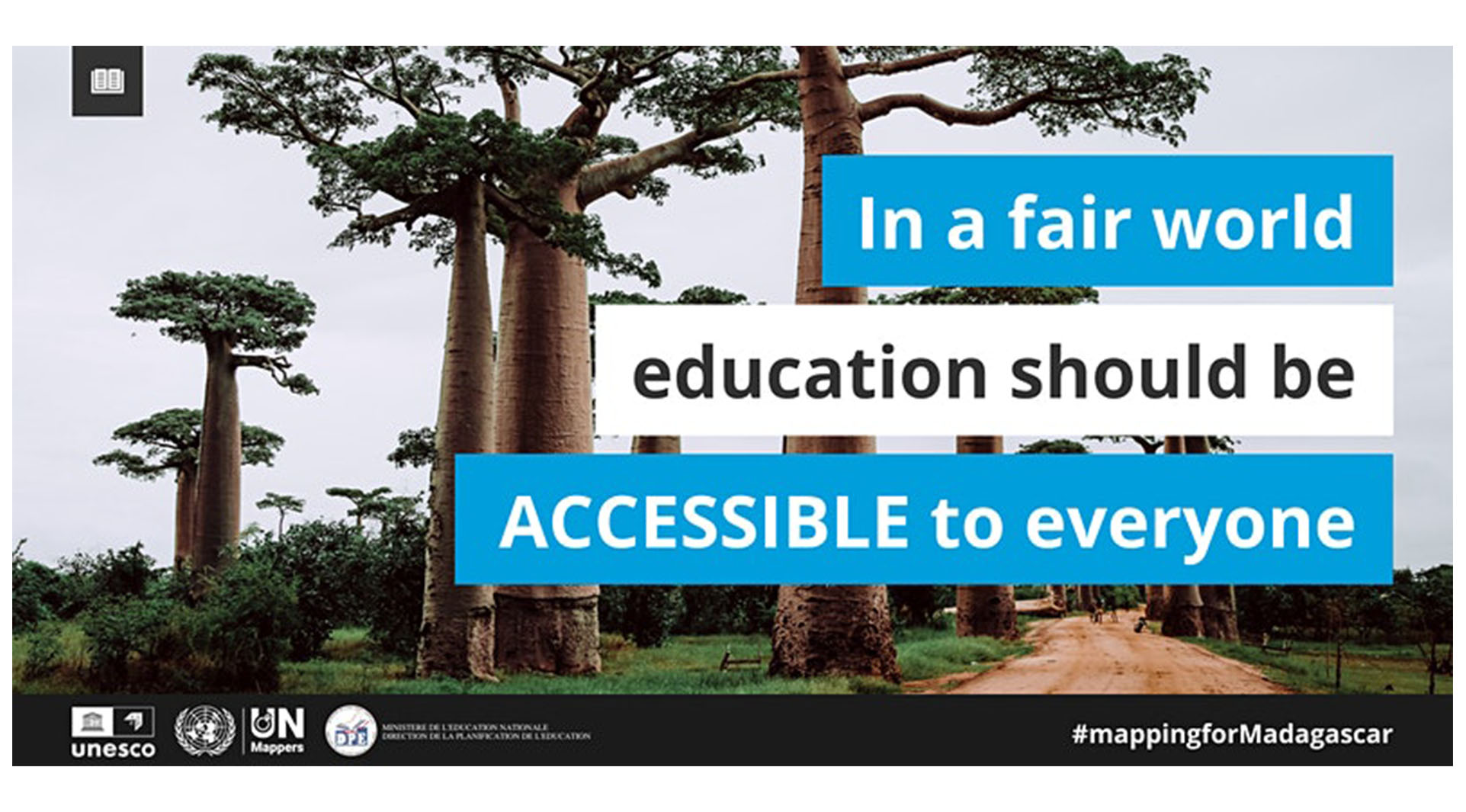
On 27 October 2021, the Planning Department of the Ministry of Education in Madagascar, in collaboration with the UNESCO International Institute for Educational Planning (IIEP-UNESCO) and Unite Maps, is seeking to map the full road network (including trails and walking paths) in the Vakinankaratra region to make sure that the journey to school can be as straightforward as possible.
The road network produced will then be processed using the IIEP UNESCO school catchment plugin, so that it will be possible to assess travel times children undertake every day from home to school, and to design better interventions in Vakinankaratra.
The event will begin at 16:00 CEST and the schedule of the event is as follows:
16:00: Welcome Words
16:30: Quick training on OpenMapStreet
17:00: Mapathon
18:40: Coffee Break
18:50: Wrap-up of results
More about the project
—————————
Road networks are at the center of several educational planning processes: planning for student transportation, delivering textbooks, scheduling inspection visits.Geographic information is key for planning education that meets the expectations of local communities, and the road network is crucial in evaluating the time it takes for students to walk to school every day. The shortest the time, the better the learning outcomes. With a fully mapped road network, educational planners will be able to calculate travel times and travel distances for school-age children, and work on improving access to education for all learners, regardless of their location.